
Palmer Township Neighbors by Parcel
The most reliable public starting point is a block question, not a claim about who lives in every nearby home. Northampton County’s geographic and land-record channels distinguish the lots around a known address, the assessment or recorded party associated with one lot, and a dated development record. The block table below keeps those roles separate. It also shows where the information stops, because a parcel owner, map label, or voter entry is not automatically a present household member.
| Block source | What it shows around an address | Access and boundary |
|---|---|---|
| County GIS parcel layer | Contiguous or nearby parcels, location, map, block, lot, and assessment attributes | Land geography, not a list of people in each home |
| Assessment Public Access | Current tax-record and owner fields as exposed | Read-only tax data; live fields were under maintenance during research |
| Recorder and LANDEX | Recorded party, instrument, date, and legal-description lead | Ownership evidence, not proof of occupancy |
| Elections street lists | Election records arranged by street where law permits | Inspection and request rules under Election Code sections 1207, 1403, and 1404 |
| Township plans and minutes | Subdivision, public development, or plan context for a block | Public project record, not a membership directory |
| Marx Room cross-reference material | Historical printed address-to-name lead in selected editions | Exact years and access conditions require staff confirmation |
Start with the map when the question is physical adjacency. Use the Recorder only after the selected polygon, parcel identifier, and legal description point to the same tract. The full chain for a named street belongs with the Palmer Township Street Directory; the focus here is the immediate block.
Map a Palmer Township Neighbor Block
Use a parcel-first process. The township street map helps orient the address by road name, route, park, road class, and municipal boundary. The county parcel layer then provides the geographic feature that should be preserved before a deed or plan is considered. The public service supports technical distance queries, but the research did not capture consumer-facing viewer control names for identifying, selecting, measuring, or buffering. Do not treat an unverified map control as a published step.
- Begin with the known address and check the Palmer Township street-classification map for road and place context.
- Find the target parcel in the county GIS map, then pan or zoom to the polygons that touch or lie nearby.
- Record the visible
PARCEL_ID,CAMA_ID,LOCATION,MAP,BLOCK,LOT, municipality, and school-district fields for each selected feature. - Compare a sale or deed-reference field with a Recorder index result only when the legal description, lot, acreage, or plan language identifies the same parcel.
Address → township map context → GIS parcel polygon → parcel identifiers → Recorder instrument is the careful flow. Parcel adjacency does not guarantee shared frontage, a common mailing street, one owner, or a personal relationship between people nearby.
Note: Preserve the parcel identifiers and record dates, because a plain street label can be ambiguous after a subdivision or private-road layout.
Palmer Township Parcel Record Fields
The Northampton parcel service joins parcel geometry to assessment information with CAMA_ID. Its reported attributes include Parcel ID, CAMA ID, Map, Block, Lot, Municipality, School District, Location, sale and deed references, acreage, values, land-use and neighborhood codes, and building characteristics. These fields help distinguish one piece of land from another. They do not provide a public neighborhood roster.
Location is a situs, or parcel-location, field. Map, block, and lot are legal or subdivision identifiers that can help compare a plan or deed. The underlying service names an owner display field, but the research did not confirm a public mailing-address field or a current person-name query input. Assessment information can lag and should be read as a tax record, not as an account of who is present on the block.
- Parcel
- A mapped unit of land used for assessment and land-record reference.
- Situs location
- The physical location associated with a parcel, which can differ from a mailing address.
- Map, block, and lot
- Identifiers that tie a feature to a subdivision or legal description and help avoid a street-name mismatch.
Palmer Township Parcel Record Trail
After a parcel has been identified, LANDEX WebStore provides the Recorder’s recorded-document index. Search the selected county, party name, date range, document type, instrument number, or book and page. A party name belongs to a recorded transaction. Confirm the municipality, instrument, legal description, and tract details before connecting it to a nearby polygon. Certified copies come from the courthouse, while image access through WebStore follows its paid checkout route.
The free Northampton LANDEX Record Alert is for monitoring a person’s own name or parcel/UPI number in county recording activity. It allows five names or UPI numbers for each email or phone combination and sends match details such as name, recording date, instrument number, instrument type, and municipality. A common name can create an unrelated alert, so each notice needs a record-level check.
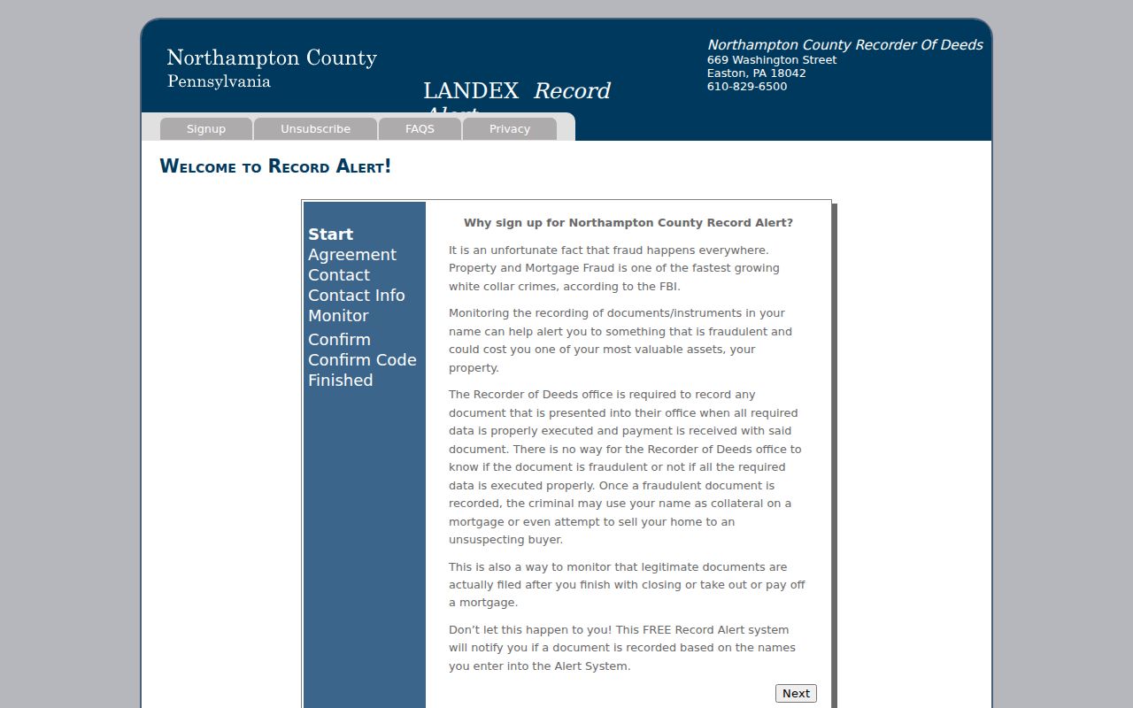
The alert page supports owner monitoring, not a blockwide monitoring practice. Pennsylvania’s February 2026 deed-fraud warning makes the narrow use clear: verify a suspicious notice with the Recorder and the underlying instrument rather than acting on a name match alone.
Palmer Township Voter Street Limits
Pennsylvania Election Code section 1403 requires pre-election street lists arranged by street and house number, alphabetically, or another residence-location method. Copies are retained for public inspection at the election commission during ordinary office hours, subject to safeguards. That is different from the state’s individual voter-status form, which is for an identity-matched status question and is not a browse-by-block tool.
The Northampton County Elections page is the county contact route for a lawful inspection or request question. Under section 1404, use of voter-list information is restricted to elections, political activities, or law enforcement, and a request requires identification and a written use affirmation. Digital signatures and SURE registration numbers are not included. Voting history never reveals ballot choices.
The elections contact screen is a route to the office and its safeguards, not evidence that every nearby address has a publicly available resident list. A voter entry can be inactive or use an ACP substitute address, and neither condition supports a conclusion about a present household.
Note: Election records have a defined statutory purpose and should not be republished as a neighborhood directory.
Palmer Township Civic Map Records
No official Palmer Township-wide HOA, neighborhood-association, or published member-directory inventory was found. The township’s map does provide useful place context, including Old Orchard Park, Fairview Park, Fox Run, Hillcrest, Keystone, Mill Race, Penn Pump, Riverview, Wolfs Run, and Woodridge Falls. Those names identify parks, open spaces, or mapped places. They do not establish an association, membership, boundaries, or contact list.
| Public civic context | Appropriate use |
|---|---|
| Township street map and park names | Orient a parcel, historic plan, or nearby landmark without inferring a social group. |
| Planning Commission records | Check a public subdivision or development history by plan, address, or year. |
| A named organization’s own current public page | Use voluntarily published contact information only, without inferring a member roster. |
| Community-center or recreation activity | Treat it as program context, not a directory of participants or nearby households. |
When a group has not published a current contact page, there is no official association directory to fill the gap. A voluntary public contact channel is the appropriate boundary. Parcel maps, park labels, and planning materials cannot be used to reconstruct private membership.
Palmer Township Block Record Comparison
Official records and commercial neighbor tools are not interchangeable. An official source states the custodian and record type, so its limits can be checked against the original map, filing, or election rule. A commercial category may combine public and private data into a convenience profile, but it can lag, merge people with similar names, omit protected updates, or lack the underlying record. Use the official channel to verify a narrow fact.
| Question | Official record route | Commercial neighbor-tool category |
|---|---|---|
| Which parcel is next to this address? | County GIS polygon and parcel identifiers | May use an unclear map source or simplify parcel boundaries |
| What recorded transfer concerns a lot? | Recorder index, image route, or certified-copy office | May omit the instrument or mix a party with another tract |
| What civic information is available? | Township planning records or voluntary organization contact page | May imply a community connection that no official source supports |
Neither category identifies every person at a nearby address. A tax owner can have a different mailing route, a map feature can change, and a historic listing is dated. Keep the question tied to land, a document, or a public civic record.
Palmer Township Historic Block Records
For a dated block layer, the Marx Room holds cross-reference telephone directories along with Easton city directories from 1855, newspapers from 1799, obituary indexes, yearbooks, maps, census material, and county-record indexes. Ask staff whether a selected cross-reference edition is available and whether access is in room or remote. Its Easton and regional focus matters because a Palmer Township address or household may be indexed under a nearby locality or an earlier name.
The Northampton County Archives is another historical route for a parcel trail. It directs house-history research to grantor/grantee indexes available at Archives, the Recorder office, or LANDEX. Historic tax material, directories, and deeds can explain a past block, but none establishes a current relationship between people nearby.
Palmer Township Block Record Limits
Private household data stays outside the block map. A public parcel or recorded deed does not identify every current occupant. Utility, DMV, and protected address information are not public block layers. Pennsylvania’s Address Confidentiality Program provides qualified participants a substitute mailing address as part of a safety plan. Do not try to replace that address with a speculative location match.
Voter records have their own statutory limits, and court or vital-record confidentiality has separate rules. Pennsylvania does not have a universal statewide deletion right for private commercial profiles. A request to remove a private listing is different from correcting an official record at its custodian. Record identifiers, a copy, and a precise correction request are more useful than repeating unverified information.
Lawful use. Use public block records for a personal, lawful purpose and respect privacy boundaries. Do not use map, address, or record information to stalk, harass, intimidate, or harm anyone.
Palmer Township Public Record Requests
The Palmer Township Open Records page is the local route for an existing township record that is not online. A focused request can seek a final permit card, certificate of occupancy, approved subdivision plan, or dated plan record when the address, time span, and record type are known. The township does not have to create an address history or answer a request framed as who lives in an area.
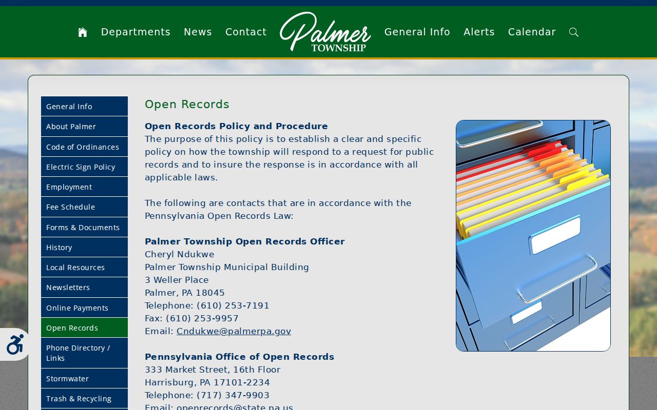
The open-records screen supports a defined request to the custodial agency. Under Pennsylvania’s Right-to-Know Law, the normal written-response baseline is five business days, while a timely interim response may extend the period under stated conditions. For a deed or parcel issue, use the Recorder or Assessment and GIS channels first because they are the direct custodians.
Palmer Township Civil Record Files
The Northampton County Prothonotary keeps civil filings such as judgments, liens, divorce, name changes, and civil appeals. A filing has its own case and document context. It should not be used to infer who lives near a parcel or how people are connected. When a public index identifies a relevant civil case, give the Prothonotary the docket number and the exact document request.
The Prothonotary page points to the filing office and civil-record services. It is a useful records boundary: liens are filed there rather than with the Recorder, while a land transfer remains a Recorder question. The existence of a civil file is not evidence of a current address or a neighbor relationship.