
Verify Palmer Township ZIP Code Coverage
Official Palmer Township material uses 18045 for the township's postal address. That is the one municipal ZIP coverage statement verified in the research. The township address and the Palmer postal facility make 18045 a sound starting point for a known Palmer Township address. They do not prove that the ZIP follows the township boundary, that every accepted mailing name is the same, or that nearby Easton ZIPs serve a township address. Verify a specific delivery address with USPS before treating a postal label as final.
| ZIP | Verified local coverage | Postal facility or mailing name | Important limit |
|---|---|---|---|
| 18045 | Palmer Township's official township address; the broader delivery area may use Easton, Palmer, or Tatamy labels depending on USPS acceptance. | Palmer Post Office, 650 S Greenwood Ave, Easton, PA 18045-9800 | Verified municipal ZIP, not a municipality boundary or resident list. |
The Palmer Township home page is shown in this Palmer Township postal-record image.
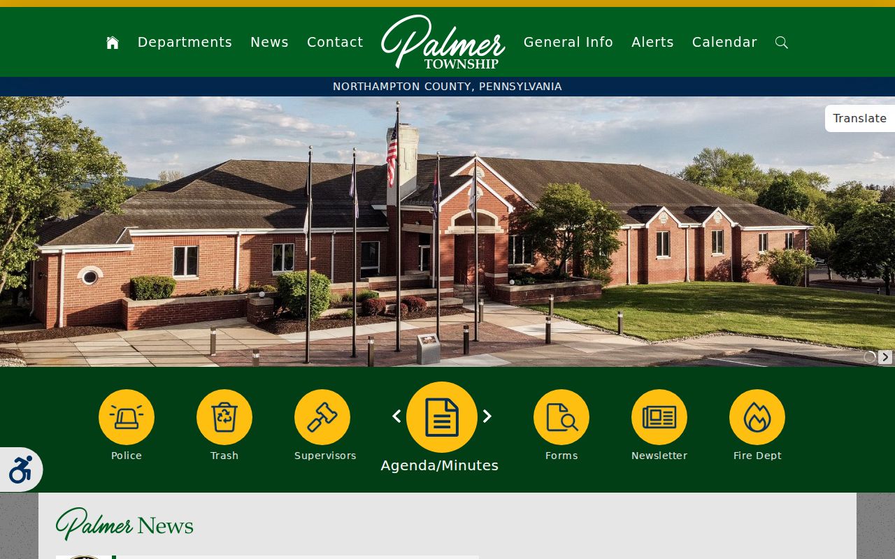
The township's own postal address supports 18045 as the local starting point. No official township or county source in this research verified another ZIP as serving a Palmer Township delivery address.
Palmer Township ZIP Boundaries
ZIP delivery areas and municipal boundaries answer different questions. USPS standardizes an address for delivery and cautions that ZIP boundaries do not necessarily track city, town, or township lines. An Easton mailing name can therefore be correct for an address being researched as Palmer Township. In the other direction, a township name on a local record does not establish the correct postal city label. The useful comparison is address by address: run the delivery format through USPS, then compare it with the municipality and parcel identifiers shown by Northampton County.
These terms make the distinction clearer:
- ZIP code and ZIP+4
- A five-digit delivery area and its more precise add-on used to route mail to a smaller delivery segment.
- PO Box ZIP
- A ZIP used for post-office box delivery rather than a broad street-delivery area. None was verified for Palmer Township in the research.
- Unique ZIP
- A ZIP assigned to one institution or organization. No Palmer Township example was verified in official sources.
- Carrier route
- A mail-delivery sequence within a ZIP. It is a postal routing unit, not a municipal boundary or resident list.
USPS ZIP Fields for Palmer Township
The official USPS ZIP Lookup has three useful routes: a known address, a city and state, and cities by ZIP. Its address route accepts an optional company name and unit detail but requires the street address. The City and State route requires both fields, and the Cities-by-ZIP route requires the ZIP. The returned postal result can standardize an address, ZIP, and ZIP+4. USPS expressly says that a ZIP result does not confirm that a person or company is at an address.
| USPS field or route | Requirement | Palmer Township use |
|---|---|---|
| Street Address | Required for address lookup | Use the known physical delivery address in standard form. |
| Apt, Suite, or Other | Optional | Add a unit only when it is already known. |
| City and State | Required for City/State route | Check whether USPS standardizes Palmer or Easton wording for that address. |
| ZIP Code | Required for Cities-by-ZIP route | Use the five-digit code to retrieve accepted city information. |
| Find by Address | Action | Best final formatting check for a known local address. |
| Find Cities by ZIP | Action | Tests postal locality naming, not municipal jurisdiction. |
The USPS Palmer Post Office record is shown in this Palmer Township postal-record image.
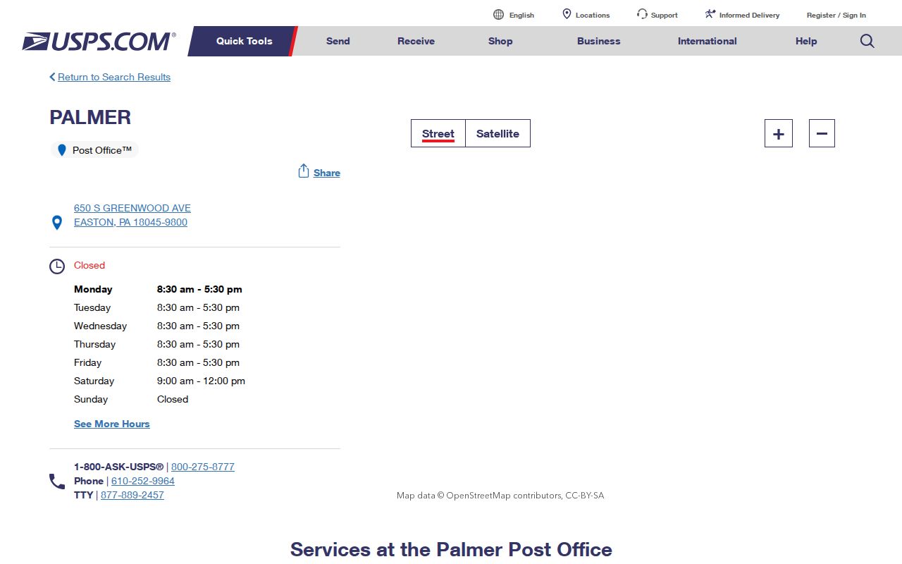
The postal-facility record confirms a local 18045 facility, while the lookup tool remains the correct source for a particular delivery address and its ZIP+4.
Search Palmer Township ZIP Records
A ZIP can narrow a mail-format question, but the local public portals did not expose a verified ZIP-wide resident or parcel filter during research. The county property page advertised Address, Parcel, Sales, Advanced, and Map paths while it was in maintenance. GIS metadata captured a Location field, not a ZIP field. The state voter-status form is an identity-matched tool, not ZIP browsing. The responsible local workflow begins with a known address and then shifts to parcel, map, or permitted election channels.
- Verify the known address and postal format with the USPS address route.
- Use Northampton's property record by Address or Parcel when the current public form is available, retaining any parcel or assessment key returned.
- Open the county GIS parcel feature to compare Location, Parcel ID, CAMA ID, and map/block/lot with the delivery address.
- Use the relevant custodian for the next question, such as the Recorder for a recorded document or the township for an existing plan or permit file.
Once a ZIP has narrowed an address question to a named road, the Palmer Township Street Directory provides the parcel-to-recorded-document sequence. It is more accurate than claiming that a ZIP produces a complete local roster.
Note: No captured county assessment, GIS, or voter interface verified a ZIP filter or a ZIP-wide export for Palmer Township.
Palmer Township Parcel Keys and ZIPs
Northampton County's parcel records use physical location and legal or tax-map keys rather than a postal ZIP. The GIS service returns Parcel ID, CAMA ID, Map, Block, Lot, municipality, location, deed and sale fields, assessment values, and building characteristics. Its owner display field reflects an assessment attribute, and its Location field is not a verified mailing-address field. A parcel result is useful when it connects the same land to a recorded instrument, but it should not be used to infer a complete household.
Northampton County Ordinance 159-1989 created Uniform Parcel Identifiers, and Ordinance 529-2010 requires GIS certification of a UPI with conveyances. The GIS office is the county's permanent tax-map records office under Ordinance 360-2010. Those local rules make the parcel identifiers stronger keys for land-record matching than a ZIP label. Compare a deed's lot, block, subdivision, acreage, or boundaries with the mapped feature before treating it as the same tract.
Palmer Township Address Authority
USPS does not create local street addresses. A municipality, county, town, township, or borough creates the address and reports it to USPS Address Management. In Palmer Township, subdivision plans must bear street addresses for the parcels they affect, while Northampton GIS and assessment channels maintain the tax-map identity. Township permits, zoning, planning, utility, business-license, and Right-to-Know forms can be useful when the question is about a municipal file associated with a known location. They are not an online ZIP directory.
The Palmer Township forms and documents page is shown in this Palmer Township postal-record image.
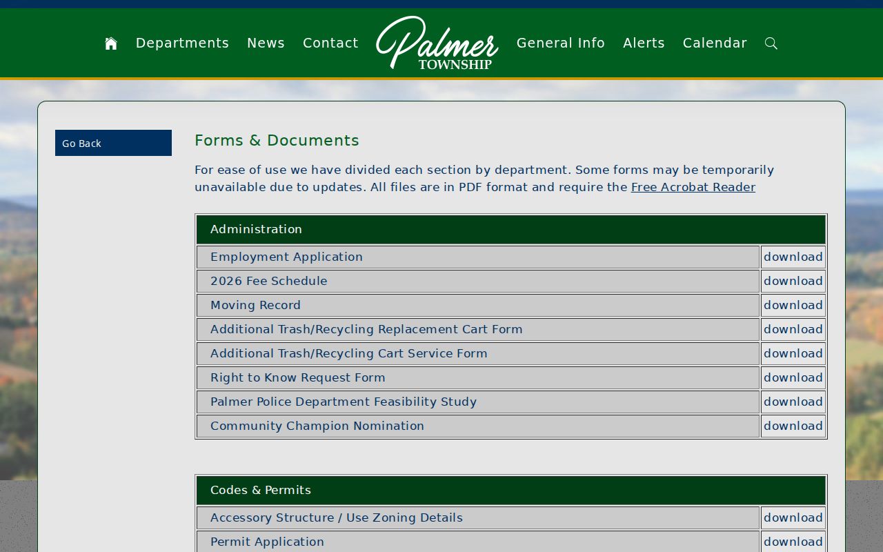
The forms page is a practical route to township record types. For an address-specific request, provide the street address, parcel or CAMA ID if known, a time span, and the existing record type sought rather than asking the township to create a new address history.
Palmer Township ZIP Search Limits
The research did not find an official ZIP realignment date, a PO Box-only ZIP, a unique institutional ZIP, ZIP-level population figures, or ZIP-level voter-registration statistics for Palmer Township. It also did not verify a postal-boundary map proving every accepted locality label inside the broader delivery area. That is why 18045 is presented as the verified municipal ZIP rather than as a made-up list of nearby Easton codes. Address-level USPS verification is the available official check.
Voter information adds another limit. Pennsylvania's individual status route is for a person to check a registration match with county, name, and date of birth. County street-list inspection and written voter-list requests have statutory election, political, or law-enforcement restrictions. They are not a ZIP-search feature, and public lists may not be published on the internet under the cited state rules. Postal geography never removes those safeguards.
Palmer Township Postal Service Routes
When a ZIP and municipal record do not line up neatly, ask the office that owns the question. USPS handles delivery formatting. Northampton Assessment and GIS handle parcel and tax-map identity. The Recorder handles recorded deeds and instruments. Palmer Township Planning, Codes and Permits, public meetings, and open-records channels address municipal files. The township's staff information gives the public contact routes and office context for those municipal services, while county offices in Easton hold the land-record functions.
The Palmer Township administration and staff page is shown in this Palmer Township postal-record image.
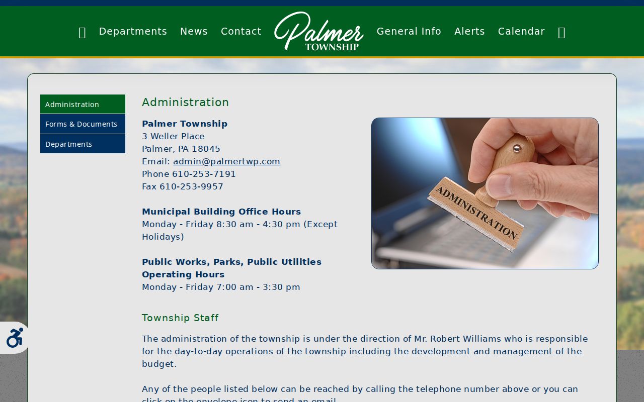
Using the responsible office prevents a postal mismatch from becoming a mistaken claim about a parcel, a recorded owner, or a municipal boundary.
Palmer Township ZIP Safety Limits
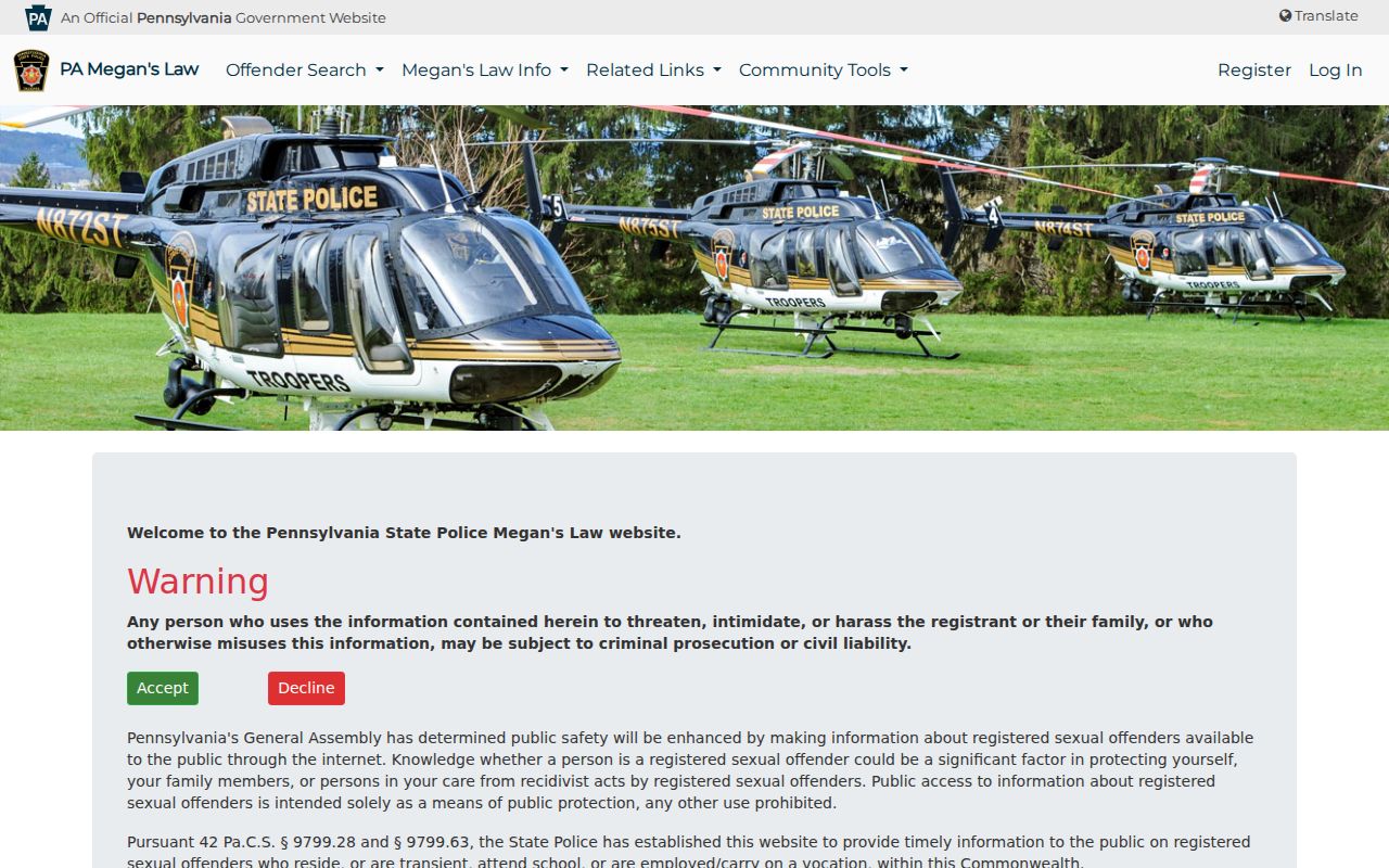
The Pennsylvania State Police Megan's Law ZIP search is a limited statewide registry route with its own statutory warning. It is not a list of everyone in a ZIP, a postal verification tool, or a way to identify a household at a location. The registry warns against threatening, intimidating, or harassing a registrant or family. For an address question, use the Postal Service, county parcel records, and the appropriate custodian instead of treating a safety registry as a general directory.
The Pennsylvania State Police registry page is shown in this Palmer Township postal-record image.
Public information has purpose limits. Postal, parcel, election, and registry records each have their own rules, and none authorizes stalking, harassment, or harm.
Palmer Township Records Before 1857
Modern ZIP terminology does not belong in early Palmer land research. Present Palmer Township was part of Forks Township until a court order on May 5, 1857. A historic deed, tax list, survey, or archive description can therefore use Forks Township even when the land is now within Palmer Township. Search the older municipality label when a modern-address search produces no result, then match the legal description, tract context, or survey language rather than inventing a postal equivalent for the earlier record.
George Palmer, the township namesake, served as Northampton County deputy surveyor from 1773 for about 51 years, and his surveys remain relevant to title and boundary questions. County records, Archives, and the Marx Room's regional collection may also be indexed under Easton or Northampton County. That local records geography explains why a valid historical entry may not carry a modern Palmer mailing label.